Sorry the product that you are looking for cannot be found
Check out our other titles on listing
New releases

 Paperback
Rough Guides Morocco
$ 26.99
 Paperback
Rough Guides Trinidad and Tobago
$ 24.99
 Paperback
Rough Guides Norway
$ 22.99
 Paperback
Rough Guides Chile & Rapa Nui (Easter Island)
$ 24.99
 Paperback
Rough Guides Nepal
$ 27.99
 Paperback
Rough Guides Mini Athens
$ 12.99
 Paperback
Rough Guides Mini Nice, Cannes & Monte Carlo
$ 12.99
 Paperback
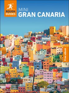
Rough Guides Mini Gran Canaria
$ 12.99
 Paperback
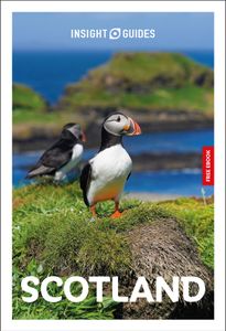
Insight Guides Scotland
$ 24.99
 Paperback
Insight Guides Ireland
$ 25.99
 Paperback
Rough Guides Slow Travel in Europe
$ 29.99
 Paperback
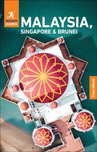
Rough Guide Malaysia, Singapore & Brunei
$ 25.99
 Paperback
Rough Guide Thailand
$ 29.99
 Paperback
Rough Guide Mini Crete
$ 12.99
 Paperback
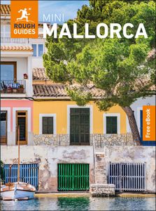
Rough Guide Mini Mallorca
$ 12.99
 Paperback
Rough Guide Mini Valencia
$ 12.99
 Paperback
Rough Guide Pocket Lisbon
$ 14.99
 Paperback
Rough Guide Pocket Amsterdam
$ 14.99
 Paperback
Insight Guides Northern Spain
$ 24.99
 Paperback
Insight Guides Costa Rica
$ 25.99
 Paperback
Rough Guides City Stories Edinburgh Seasons
$ 15.00
 Paperback
Rough Guides City Stories Seville Seasons
$ 15.00
 Paperback
Rough Guide Florida
$ 24.99
 Paperback
Rough Guide England
$ 26.99
 Paperback
Rough Guide Andalucía
$ 23.99
 Paperback
Rough Guide Philippines
$ 25.99
 Paperback
Mini Rough Guide Croatia
$ 12.99
 Paperback
Mini Rough Guide Slovenia
$ 12.99
 Paperback
Pocket Rough Guide Las Vegas
$ 15.99
 Paperback
Insight Guides Tanzania & Zanzibar
$ 25.99
 Paperback
Insight Guides South America
$ 27.99
 Paperback
Insight Guides Colombia
$ 25.99
 Paperback
Rough Guides Walks & Tours Budapest
$ 14.99
 Paperback
Rough Guides Walks & Tours Malta
$ 15.99
 Paperback
Rough Guide Fiji
$ 24.99
 Paperback
Rough Guide Bordeaux
$ 22.99
 Paperback
Rough Guide Languedoc & Roussillon
$ 25.99
 Paperback
Rough Guide Australia
$ 28.99
 Paperback
Rough Guides Vietnam
$ 25.99
 Paperback
Rough Guides Mini Madrid
$ 12.99
 Paperback
Rough Guides Panama
$ 24.99
 Paperback
Rough Guides Singapore
$ 23.99
 Paperback
Rough Guides Mini Japan
$ 12.99
 Paperback
Rough Guides Pocket Prague
$ 14.99
 Paperback
Insight Guides Thailand
$ 24.99
 Paperback
Rough Guides Mini Cyprus
$ 12.99
 Paperback
Rough Guides City Stories Paris Seasons
$ 15.00
 Paperback
Rough Guides City Stories Berlin Seasons
$ 15.00
 Paperback
Rough Guides Switzerland
$ 24.99
 Paperback
Rough Guides Canada
$ 28.99
 Paperback
Rough Guides Mini Tenerife
$ 12.99
 Paperback
Insight Guides Texas
$ 26.99
 Paperback
Insight Guides Colorado
$ 24.99
 Paperback
Rough Guides Mini Berlin
$ 12.99
 Paperback
Rough Guides Mini Munich & Bavaria
$ 12.99
 Paperback
Rough Guides Vanishing Places
$ 29.99
.jpeg) Paperback
PaperbackRough Guides Wild Earth: Discover the World's Wildest Places
$ 45.00
 Paperback
Rough Guides Walks & Tours Sicily
$ 15.99
 Paperback
Rough Guides Walks & Tours Copenhagen
$ 15.99
 Paperback
Rough Guides Walks & Tours Rome
$ 15.99
 Paperback
Rough Guides Bali & Lombok
$ 25.99
 Paperback
Rough Guides Mexico
$ 28.99
 Paperback
Rough Guides Mini Jersey
$ 12.99
 Paperback
Rough Guides Mini Madeira
$ 12.99
.jpeg) Paperback
PaperbackRough Guides Belize with Tikal & Flores
$ 24.99
 Paperback
Rough Guides Costa Rica
$ 25.99
